
A transit agency wants its agent to answer questions using route maps and schedule images that only exist as scanned graphics, not structured text. What should the team configure to bring this content into the agent's knowledge?
Select an answer to reveal the explanation.
Short Explanation
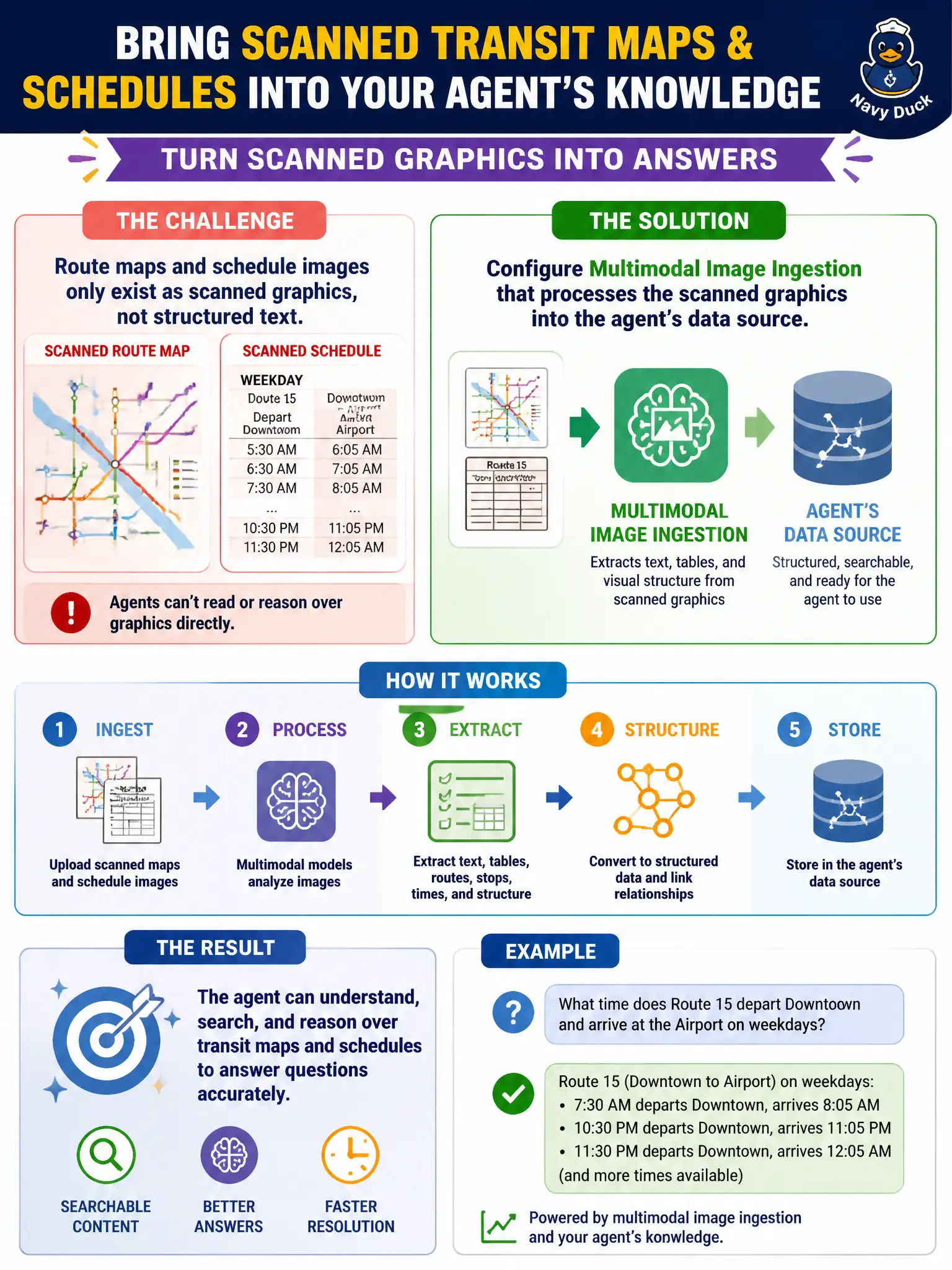
A scanned route map is all picture and no text, so the agent can't reason over it until something actually reads what's in the image. Multimodal image ingestion is that reading step, pulling the map and schedule content out of the graphics and into the agent's knowledge.
Full Explanation
Multimodal image ingestion processes scanned graphics like route maps and schedule images, extracting their content so it becomes part of the agent's searchable data source, which is the necessary step for a graphic-only source to inform the agent's answers at all. A chain-of-thought instruction describing the map layout in words requires someone to manually author that description and keep it synced with the actual graphic, which doesn't scale and risks drifting out of date as routes change. A transition route dedicated to displaying the raw image files just hands the resident the picture back without extracting any answerable information from it, leaving the actual question unaddressed. Few-shot examples of typical schedule questions and canned answers might cover anticipated cases but can't reflect the specific routes or times shown in the actual scanned graphics, so answers would be generic rather than grounded in the real schedule. Scope caveat: ingested map and schedule images should be re-processed whenever the transit agency updates routes, since stale graphics produce stale answers. Operational check: ask the agent about a route detail visible only in the scanned map and confirm the answer matches what the graphic actually shows.