
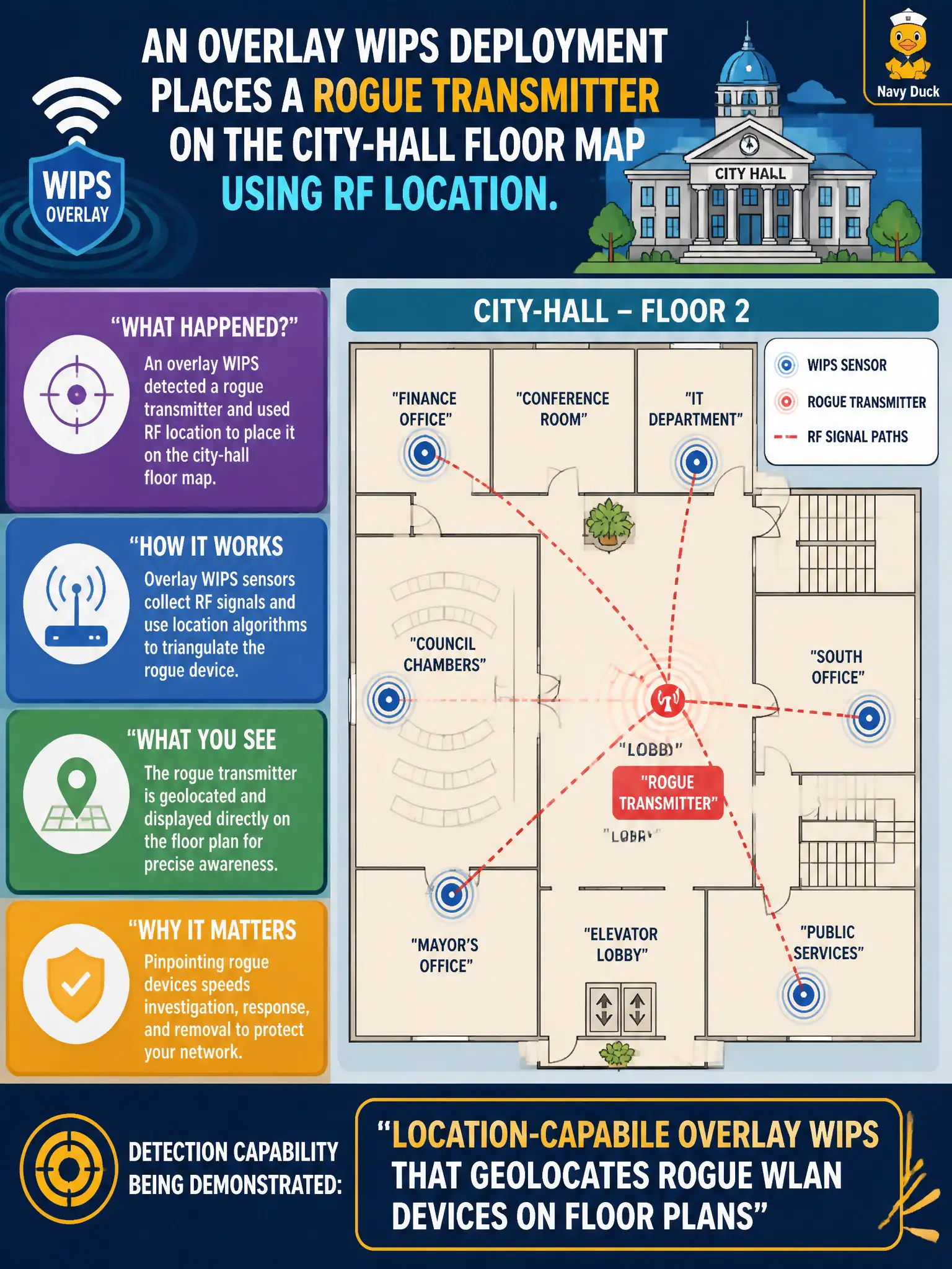
An overlay WIPS deployment places a rogue transmitter on the city-hall floor map using RF location. Which detection capability is being demonstrated?
Select an answer to reveal the explanation.
Short Explanation
Overlay WIPS is the building’s metal detector with a map—it pins the rogue on the floor plan so security can walk to the right closet. That RF location feature is exactly what Domain 2 detection methods describe. Unplugging sensors would hide the needle.
Full Explanation
An overlay WIPS deployment that places a rogue transmitter on the city-hall floor map using RF location demonstrates location-capable overlay WIPS that geolocates rogue WLAN devices on floor plans. Location accelerates physical response by facilities and security officers who must find devices across multi-floor civic buildings during public visiting hours. Using only DHCP fingerprints with no RF sensors involved cannot place a transmitter on a floor map because there is no RF ranging input. Manual cable-tracing of every Ethernet drop as the sole rogue-finding method is slow and fails for purely wireless rogues that never touch a switchport. Disabling all AP sensors so location algorithms run faster removes the RF inputs location requires and is counterproductive. City-hall environments benefit from overlay or integrated sensors calibrated to accurate floor plans for rapid rogue response and documented evidence for incident records. Exam caveat: location accuracy depends on sensor density and calibration; treat maps as guidance and confirm visually before invasive containment in sensitive offices or chambers. Operational check: validate floor-plan calibration for city hall, respond to the mapped rogue with a security escort, remove or contain the device, photograph evidence, and tune sensor placement if location error was excessive during the response.