
A logistics parcel carrier has street addresses for delivery stops and needs latitude and longitude before routes can be drawn on a map. Which enrichment produces those coordinates?
Select an answer to reveal the explanation.
Short Explanation
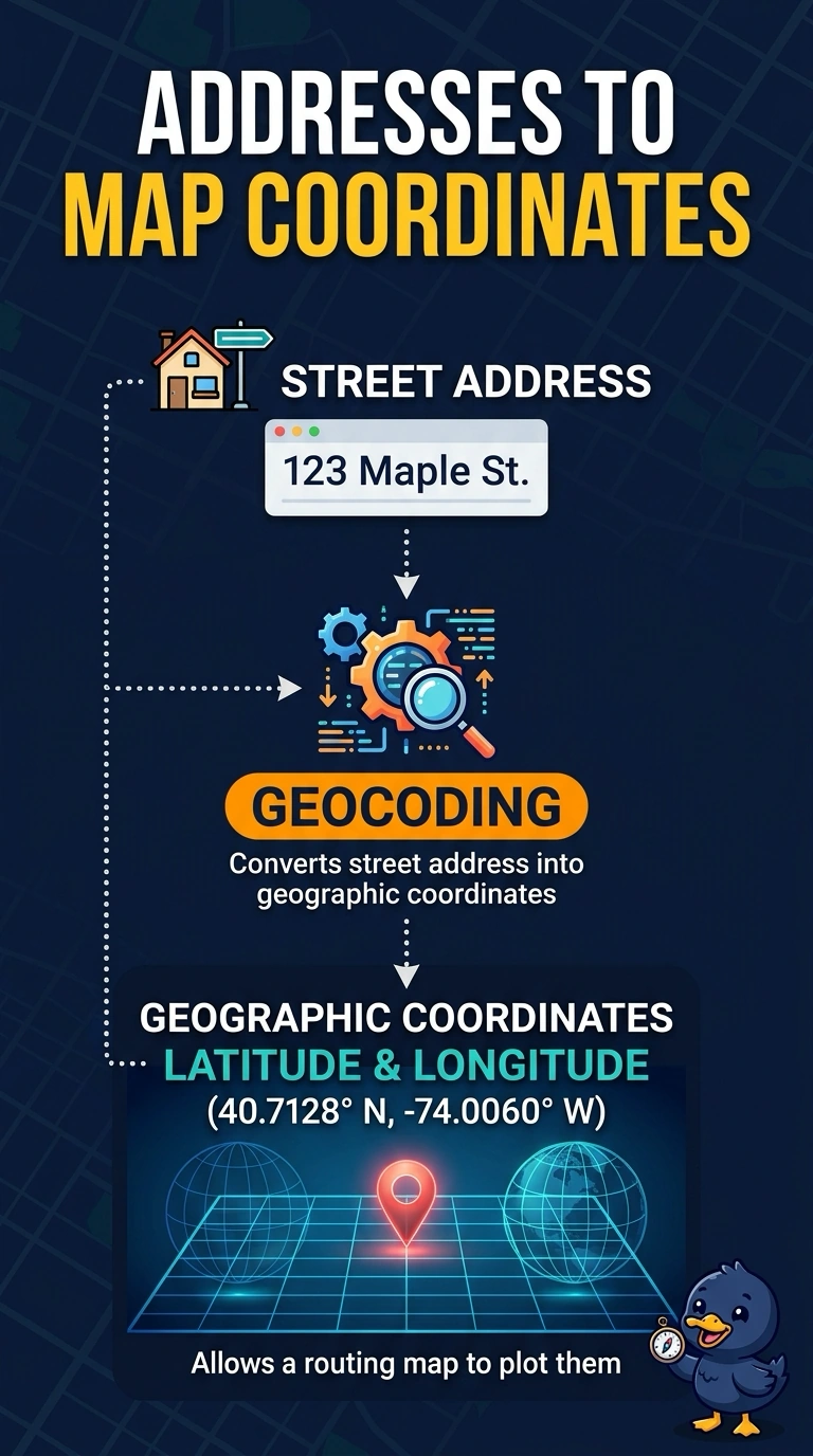
An address is a written place, and coordinates are the pin you can plot. Geocoding turns the street address into that pin. Cleaning the spelling, or starting from a pin and asking for the address, solves a different job.
Full Explanation
Geocoding takes a textual location, such as a street address, and returns geographic coordinates, typically latitude and longitude. The parcel carrier has addresses and needs pins the routing map can plot, so geocoding is the enrichment that changes the representation from words to coordinates. Address standardization can fix spelling and abbreviations and is often a useful prep step, but a cleaned string is still not a coordinate pair. One-hot encoding of the city name creates indicator columns for categories and does not locate a stop along a street. Reverse geocoding runs the opposite direction: it starts from coordinates already in hand and returns an address, which is not the input the carrier has. Exam caveat: a successful geocode can still land on a rooftop, a parcel centroid, or an interpolated point along a street, so the coordinate is only as precise as the match. Operational check: geocode a sample of stops and confirm each result has a latitude and a longitude that fall inside the expected delivery area.