
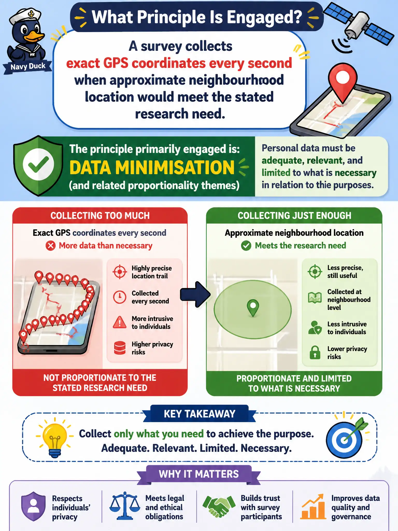
A survey collects exact GPS coordinates every second when approximate neighbourhood location would meet the stated research need. Which principle is primarily engaged?
Select an answer to reveal the explanation.
Short Explanation
If neighbourhood-level location answers the research question, vacuuming second-by-second exact GPS is overkill—like weighing luggage on a jeweller’s scale when a bathroom scale would do. Data minimisation says take what you need, not the whole satellite trail.
Full Explanation
Data minimisation—and related proportionality themes—requires that personal data be adequate, relevant, and limited to what is necessary in relation to the purposes. Collecting exact GPS coordinates every second when approximate neighbourhood location would meet the stated research need engages minimisation: the survey over-collects precise movement trails without necessity for the declared purpose.
Storage limitation is not the primary principle merely because someone claims GPS points “never count” as personal data—precise location typically does. Integrity and confidentiality do not require maximum collection of location trails; security concerns often favour collecting less. Portability does not mandate second-by-second GPS for every survey respondent.
Exam caveat: necessary precision only—more location granularity is not automatically better. Operational check: redefine collection to neighbourhood-level or event-level location, reduce sampling frequency, justify any high-precision needs, and delete excess trails. Civic research should respect residents’ movements as sensitive patterns, documenting why continuous precise GPS was rejected when coarser data would answer the public question.