
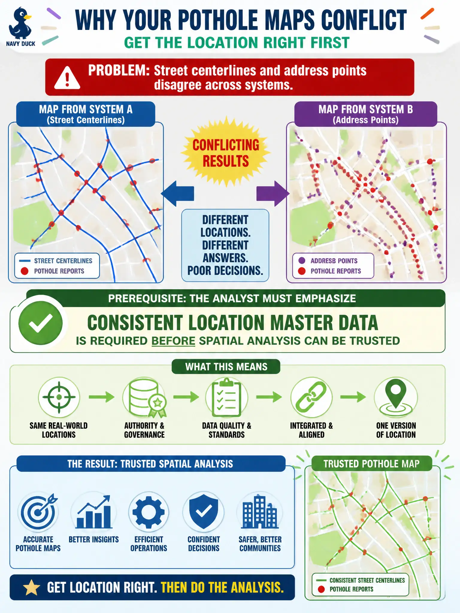
Geospatial analysis of pothole reports produces conflicting maps because street centerlines and address points disagree across systems. What prerequisite should the analyst emphasize?
Select an answer to reveal the explanation.
Short Explanation
Spatial analysis on disagreeing street and address masters is like navigating with two maps that argue. Fix location consistency first—MDM for places—then draw heatmaps. Pretty maps on bad locations just look precise.
Full Explanation
Geospatial analysis of pothole reports that produces conflicting maps because street centerlines and address points disagree across systems requires emphasizing that consistent location master data is a prerequisite before spatial analysis can be trusted. Spatial joins, neighborhood aggregations, and routing-dependent views inherit location reference quality; conflicting masters undermine civic work-order routing, equity maps, and crew planning. Deleting all location fields and analyzing potholes by free-text comments only fails by abandoning spatial signal instead of fixing the reference data. Accepting conflicting masters and averaging latitudes without reconciliation fails by inventing false precision from unresolved conflict. Replacing spatial analysis with a single citywide total forever fails by hiding geographic patterns residents and crews need for accountability. Exam caveat: temporary analytic workarounds may exist during remediation, but they should be labeled as degraded and must not substitute for aligning location masters used in official maps. Operational check: inventory centerline and address-point sources, designate systems of record, reconcile conflicts with GIS stewardship, re-run the pothole map after alignment, and measure reduction in unmatched or conflicting geocodes before publishing spatial equity or crew-routing products.