
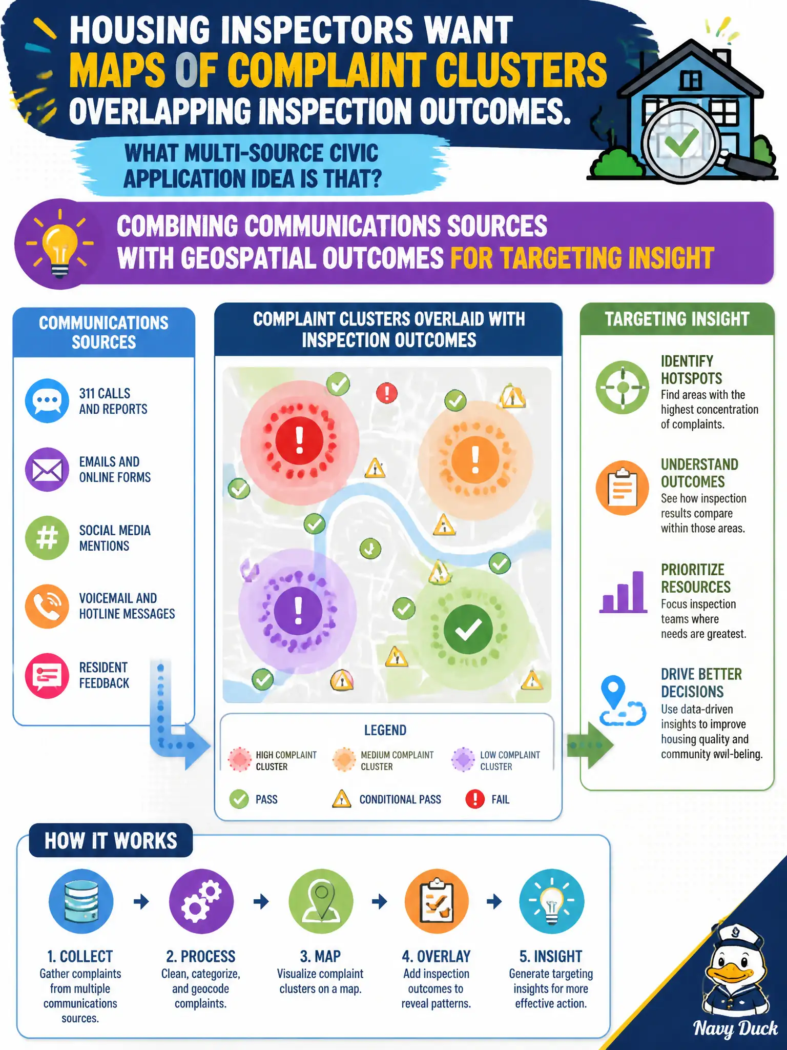
Housing inspectors want maps of complaint clusters overlapping inspection outcomes. Which multi-source civic application idea is that?
Select an answer to reveal the explanation.
Short Explanation
Complaints tell you where people are yelling; inspection results tell you what crews found. Stack them on a map and clusters jump out. That is communications plus GIS working as a civic app pattern.
Full Explanation
Multi-source civic applications often join call-center or complaint communications with geospatial inspection outcomes. Housing inspectors wanting maps of complaint clusters overlapping inspection results seek targeting insight from that Variety mashup. Field truth still matters; the map prioritizes, it does not replace, inspections.
Using only anonymous satellite night lights with no complaint text fails by concept: the stem needs communications plus geospatial outcomes. Ignoring geospatial context to speed spreadsheet exports fails by concept: spatial overlap is the point. Replacing inspections with sentiment scores alone fails by concept: sentiment is not a substitute for inspection outcomes.
Exam caveat: Combine communications sources with geospatial outcomes for targeting—do not drop complaints, ignore geography, or replace inspections with sentiment.
Operational check: Join complaint geocodes to inspection layers, validate hot spots with field visits, and measure whether overlap maps improve enforcement prioritization without skipping required inspections. Document residual risk for civic operators and revisit after the next production change window. Confirm owners, SLAs, and rollback criteria in the runbook before go-live.