
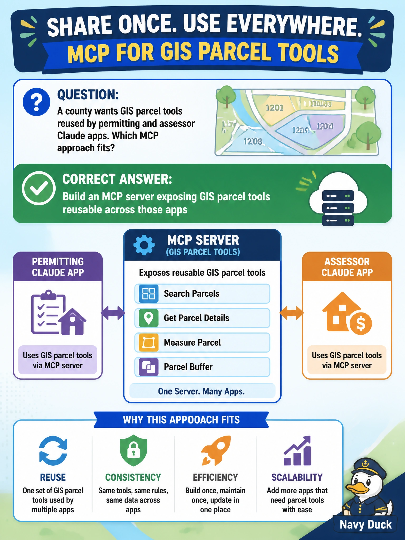
A county wants GIS parcel tools reused by permitting and assessor Claude apps. Which MCP approach fits?
Select an answer to reveal the explanation.
Short Explanation
Don't reinvent the parcel map in every chatbot—stand up one MCP server and let permitting and assessor apps reuse it. You want both apps calling real, live tools, not one app hoarding the client or everyone stuck with read-only resource files.
Full Explanation
When a county needs GIS parcel tools reused by permitting and assessor Claude apps, an MCP server that exposes those parcel tools once is the right reuse pattern: one maintained connector, shared schemas, and consistent authentication to the GIS backend. Consuming apps then attach the MCP capability instead of reimplementing parcel glue, which keeps parcel ID semantics aligned across departments. Hosting GIS parcel tools in an MCP client embedded in the permitting app locks the tools to one app, so the assessor app cannot reuse them and the county still ends up maintaining separate parcel integrations. Publishing GIS parcel lookups as MCP resources for static file reads gives apps read-only files instead of executable tools, so they cannot run live parcel queries or shared GIS operations across departments. Connecting permitting and assessor apps through MCP sampling for parcel approvals uses sampling for negotiation between clients rather than exposing shared parcel tools, so it does not provide reusable GIS parcel functionality to both apps. Exam caveat: a shared MCP still needs tenancy, scopes, and rate limits so assessor and permitting traffic cannot starve or over-privilege each other, and write tools—if any—must be scoped separately from read parcel lookup. Operational check: point both apps at the same MCP parcel tools, change a schema or endpoint in one place, verify both apps pick up the change without separate code forks, confirm keys live with the MCP host rather than in each app repo, and run a load test that isolates per-app quotas.