
An autonomous-driving stack must label every pixel in a live camera stream as road, sidewalk, or building so the planner knows traversable space. Which task-and-model pairing best matches this need?
Select an answer to reveal the explanation.
Short Explanation and Infographic
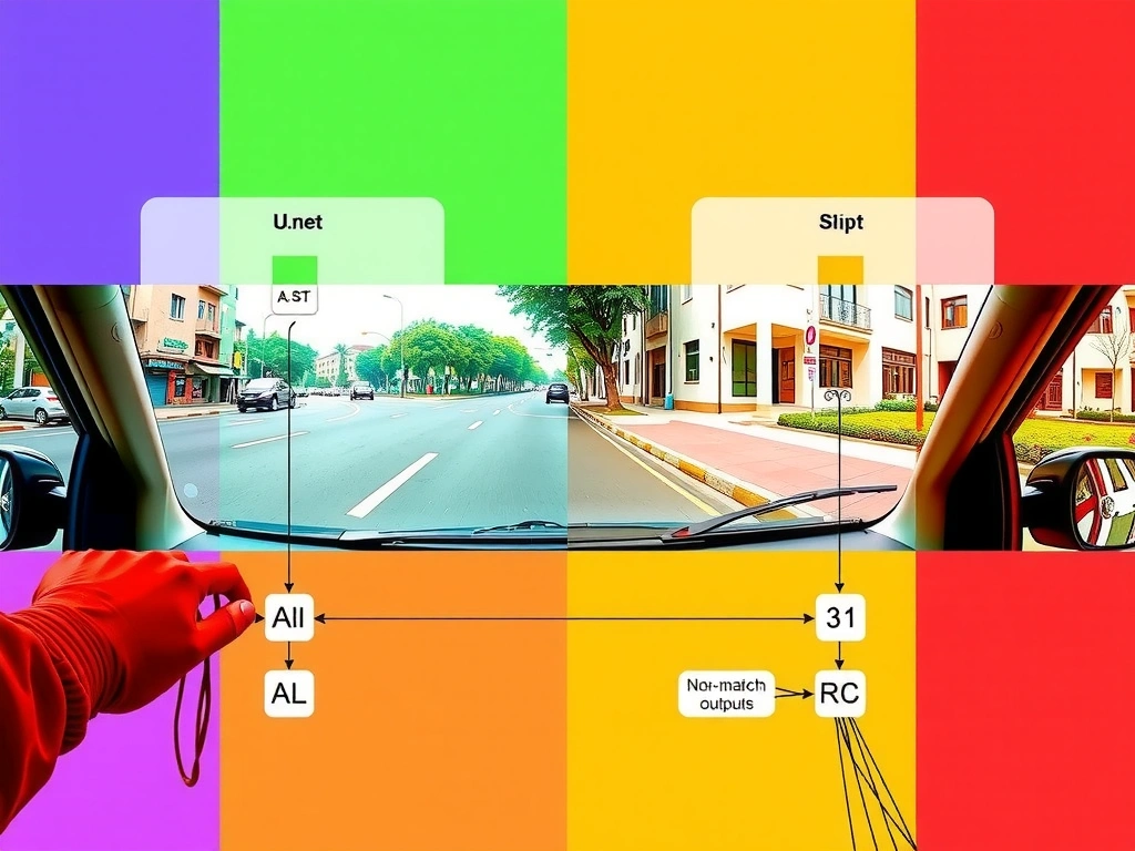
Imagine your boss walks in and says the car needs to know which pixels are drivable before Friday's demo. That's not 'is this a street photo?'—that's semantic segmentation. Every pixel gets a class: road, sidewalk, building. U-Net-style encoder–decoders are the classic go-to because they recover spatial detail after compressing context. Exam trap buffet: ResNet classification, YOLO tracking, Faster R-CNN detection. Those find scenes or boxes, not a full paint-by-numbers map of the world. Detection might find a car; segmentation paints the lane under it. For free space and layout, think dense labels + U-Net family (or other segmentation nets). Remember that pairing and you'll sail the question.
Full explanation below image
Full Explanation
Autonomous driving perception frequently requires dense scene understanding: which pixels belong to drivable road, sidewalk, vehicles, pedestrians, buildings, and so on. That problem is semantic segmentation—assigning a class label to every pixel—rather than producing a single image-level tag or a sparse set of bounding boxes. Architectures such as U-Net (and related fully convolutional encoder–decoder or pyramid networks) are popular because an encoder captures multi-scale context while a decoder with skip connections restores spatial resolution for sharp boundaries. Outputs are typically H×W class maps that can feed occupancy estimation and planning.
Image classification with ResNet answers only what the entire frame depicts (for example 'street scene') and cannot delineate free space. Object detection with Faster R-CNN localizes discrete objects with boxes and scores; it does not label continuous surfaces pixel-by-pixel. YOLO-family models are strong real-time detectors; combining them with trackers addresses 'where is this car over time,' which is valuable for dynamic agents but still different from full-scene semantic maps. Modern stacks often fuse multiple tasks—detection, segmentation, depth—but the stem’s requirement is explicitly per-pixel differentiation of road, sidewalk, and building, which maps to semantic segmentation.
Exam strategy: match the granularity of the required output. Global label → classification; boxes → detection; pixel classes → semantic segmentation; instance IDs over time → tracking. Then pair segmentation with a dense-prediction architecture such as U-Net. That combination is the answer that satisfies both the computer-vision task definition and a commonly cited model family for pixel-wise prediction in technical assessments and applied systems. In practice, document the decision criteria you used so teammates can reproduce the evaluation. Prefer metrics and checks that match the business risk, not vanity scores. When reviewing distractors on an exam item, name the misconception each option encodes: wrong learning paradigm, wrong evaluation stage, or a metric that optimizes the wrong objective. A reliable memory aid is to restate the concept in one sentence, then ask which option alone matches that definition without adding unrelated goals. Finally, connect the idea to a production workflow step—data prep, training, validation, or monitoring—so the correct answer stays grounded in how systems are actually built and governed.