
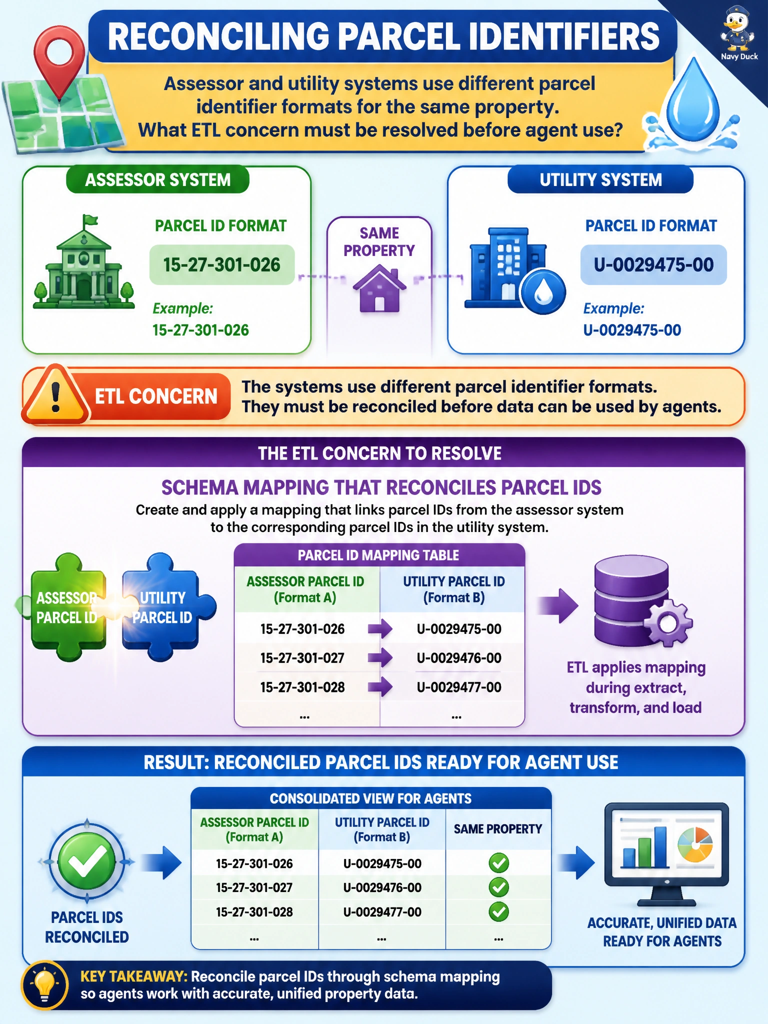
Assessor and utility systems use different parcel identifier formats for the same property. What ETL concern must be resolved before agent use?
Select an answer to reveal the explanation.
Short Explanation
Same house, two barcode stickers—that’s a classic civic ID mess. Schema mapping that reconciles parcel IDs across assessor and utility systems has to happen in ETL before the agent trusts the join.
Full Explanation
Assessor and utility systems often use different parcel identifier formats for the same property. Before agents reason over linked records, ETL must perform schema mapping that reconciles those parcel IDs (crosswalks, normalization, validated joins). Identifier reconciliation is a foundational data-quality concern for multi-system municipal knowledge used by permitting and utility agents alike.
Increasing GPU batch size during inference of unrelated chat models does not align parcel keys. Painting data-center racks to match city brand colors is irrelevant aesthetics. Disabling all primary keys so joins never fail hides integrity problems and produces silent many-to-many nonsense in downstream agent answers.
Exam caveat: mapping tables drift when systems rename or split parcels—treat crosswalks as living assets with ownership. Operational check: sample parcels known to exist in both assessor and utility systems, confirm post-ETL join rates and mismatch reports, and block agent use of linked views until reconciliation metrics clear thresholds. Maintain a monitored unmatched-parcel queue for stewards to repair before agent-facing joins go live. Expose join coverage percentage on an operations dashboard so assessor–utility mapping health is visible before agent incidents.