
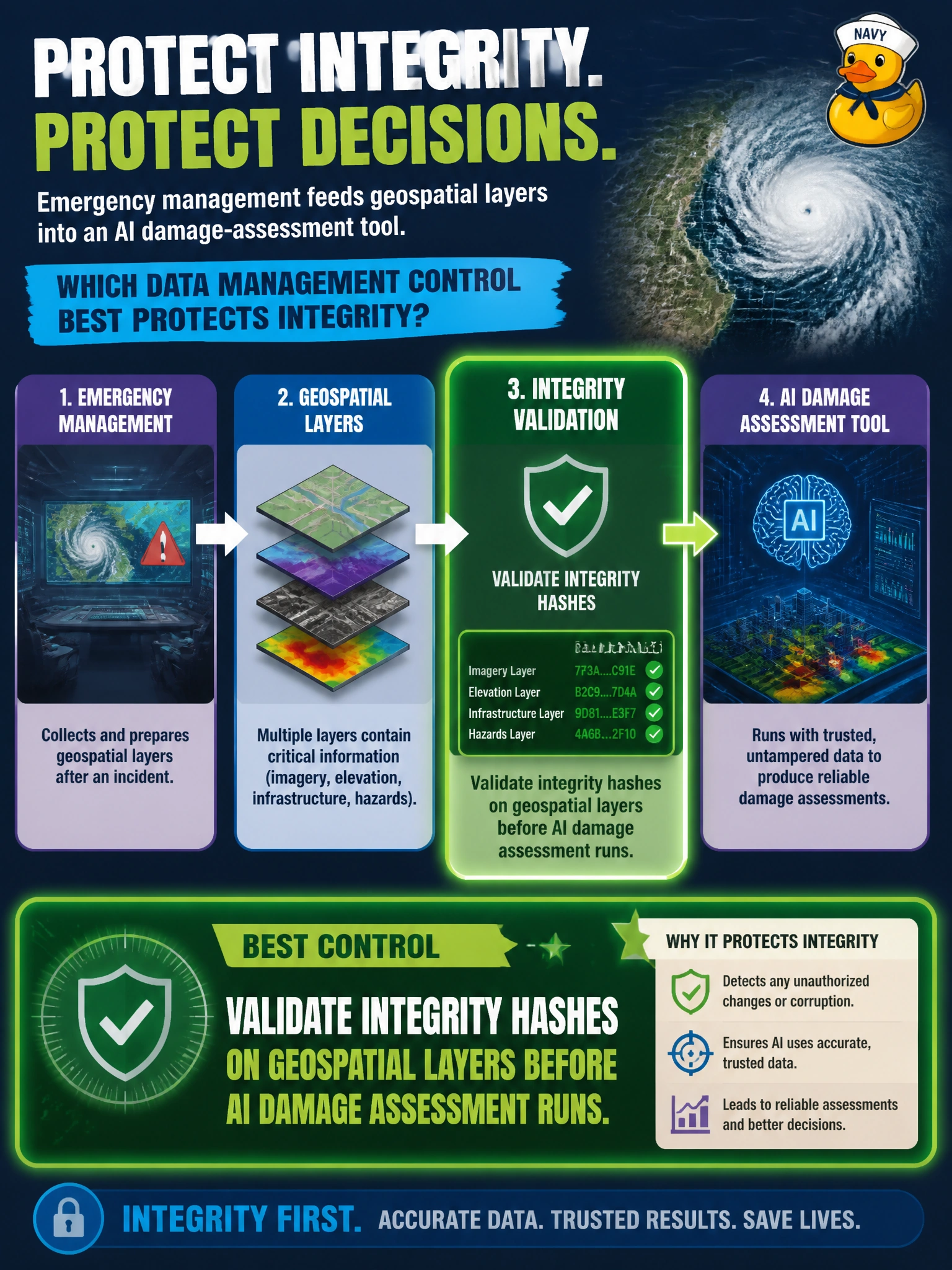
Emergency management feeds geospatial layers into an AI damage-assessment tool. Which data management control best protects integrity?
Select an answer to reveal the explanation.
Short Explanation
Bad maps in, bad damage calls out. Hash-check those geospatial layers before the model runs so nobody’s quietly swapped a corrupted or tampered file into the stack.
Full Explanation
Emergency-management damage-assessment AI depends on trustworthy geospatial inputs. Compromised, corrupted, or substituted shapefiles can skew damage estimates, divert resources, and undermine mutual-aid decisions after a disaster. Validating integrity hashes on geospatial layers before the AI run confirms that basemaps and overlays match authorized sources and have not been silently altered in transit or at rest. Encrypting geospatial layers in transit for integrity before AI assessment runs protects confidentiality during transfer, but it does not verify that the contents match the authorized source or are untampered, so it cannot replace pre-inference hash validation. Reprojecting geospatial layers to preserve integrity before AI assessment runs only supports spatial alignment, but it does not verify hashes or guard against tampered or substituted inputs before inference. Retaining versioned backups of geospatial layers for integrity in recovery storage helps with recovery, but it does not verify hashes before the AI run or prevent a compromised layer from driving live damage-assessment decisions. Exam caveat: AAISM data management for AI pipelines includes integrity verification of critical inputs, especially geospatial layers that drive civic resource allocation. Operational check: publish expected hashes for authorized emergency layers, automate pre-inference hash verification with fail-closed behavior, log failures, and require dual control for any emergency exception that bypasses the check.
Prefer to study offline? Printable PDF study book + test engine ($7.50, unofficial). These questions stay free here.